Delivering Intelligent Aerial and BIM SolutionsforOutdoor servicesandConstruction

Why Choose MapNexa?
Powerful features designed to streamline your construction workflow and deliver exceptional results
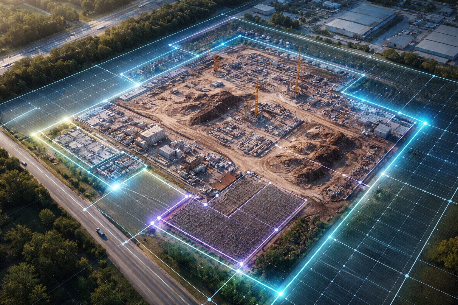
Aerial Mapping & Takeoff
Professional-grade aerial mapping with centimeter-level precision. Capture high-resolution imagery and generate accurate measurements for any project scale.

Advanced Drawing Tools
Professional-grade drawing and editing tools with 25+ specialized instruments for complex geometric operations and precise measurements.
Bulk Project Management
Handle thousands of projects simultaneously with advanced project management tools and automated workflow optimization.
Export & Reporting
Comprehensive reporting system with 10+ export formats and 50+ customizable templates for professional documentation.
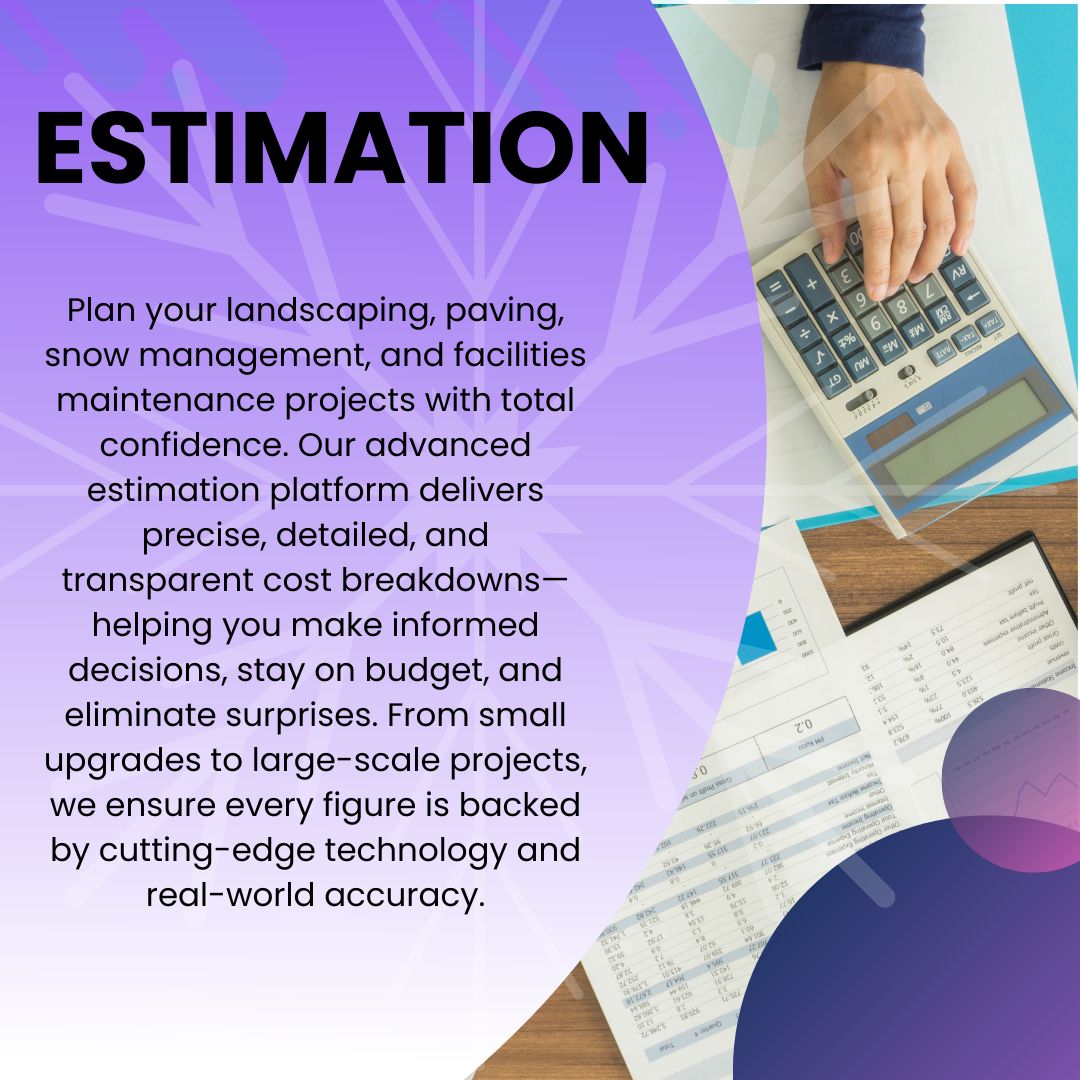
Advanced Estimation
Professional estimation engine with 95% accuracy for cost calculations and automated proposal generation.

BIM Quantity Takeoff
Extract accurate material quantities directly from BIM models. Automate BOQ generation and streamline cost estimation workflows with 99% accuracy.

Cloud Collaboration & Sharing
Real-time multi-user collaboration platform for BIM projects with unlimited team members. Share, review, and coordinate with teams worldwide using cloud-based tools with instant sharing, synchronized project updates, and version control.